
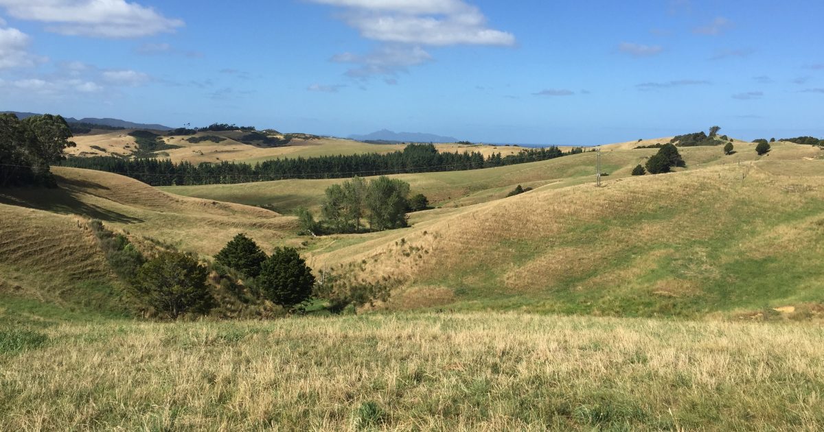
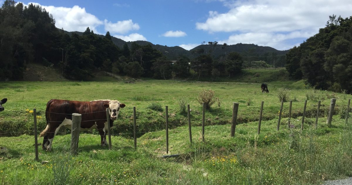
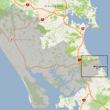
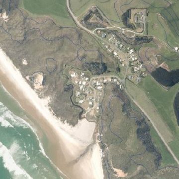
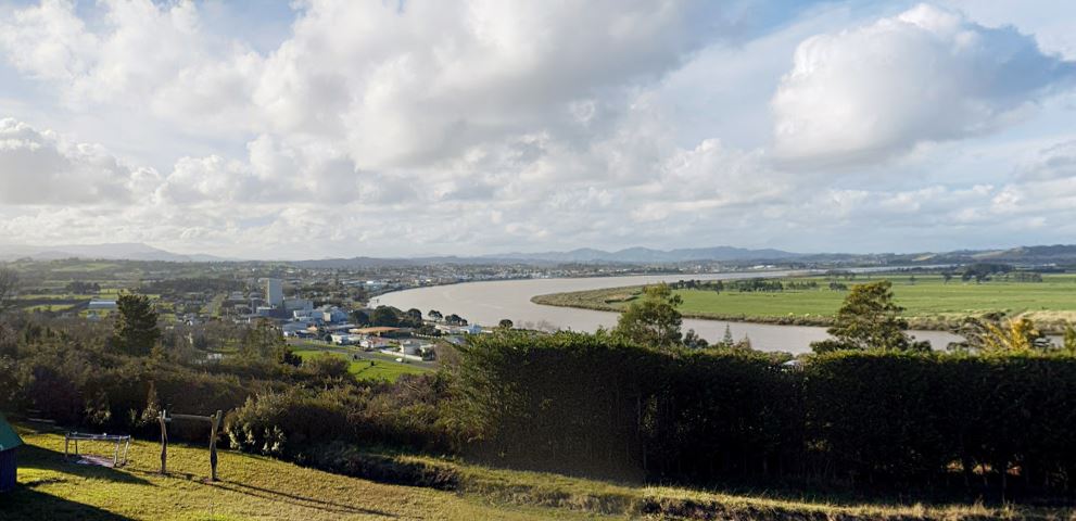
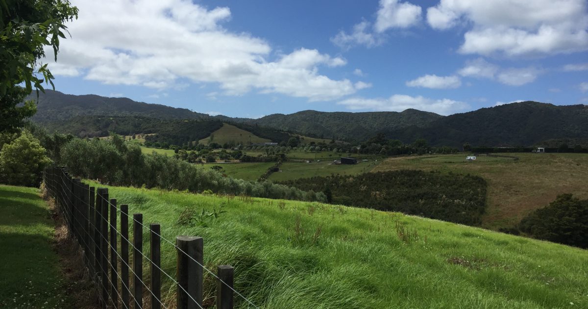
Located in Northland, the Kaipara region boasts impressive art, culture and heritage alongside stunning coastline views, all factors that have contributed to more demand for housing in the area. The Kaipara District Council identified multiple, large areas that they believe are next in line for potential development. ENGEO carried out a comprehensive geological risk analysis of the areas identified by the council for potential future development.
ENGEO produced a user-friendly, geological risk analysis of areas identified by the Kaipara District council for future development.
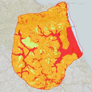
ENGEO’s methodology included undertaking high-level geomorphological mapping to evaluate Kaipara Districts surface and landforms. ENGEO incorporated detailed desktop studies of the mapped area’s geology, liquefaction potential, slope stability, acid sulphate risks, onsite wastewater disposal potential, consolidation settlement potential, historical uses and past development in its analysis of assessing geological risk. The risk calculations performed in GIS technology produced a gridded output of the overall risk for each of the potential development areas.
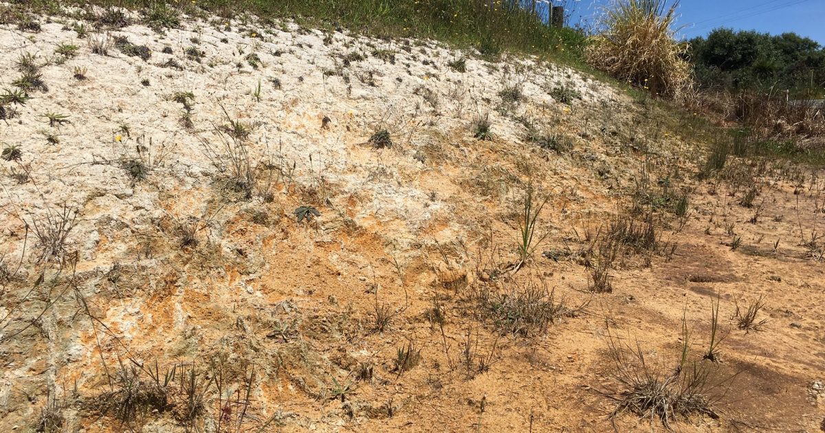
Our team of geologists had the opportunity to utilise our expertise in geomorphology and geologic mapping and apply it to one of the most diverse and complex areas in all of New Zealand. The rock record in the Kaipara District tells the story of how our land subsided deep into the ocean before being uplifted again, how it was subject to sea-level rise and fall, explosive volcanism, and the chaotic emplacement of rocks from the seafloor known as the Northland Allochthon. This project gave ENGEO the great opportunity to map the rocks and landforms that tell the story of New Zealand’s creation.
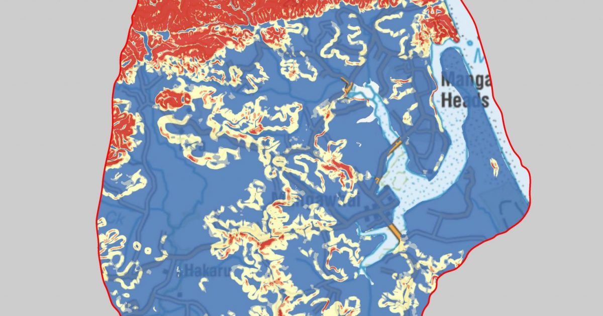
ENGEO produced exceptional summary geographical data and mapping visuals. Using this information, high, medium and low-risk areas of geological hazard are now easily identified, thus creating a quick reference for future building consents within Kaipara. The reports ENGEO produced of the mapped areas are used as a reference for every new development in the Kaipara District.
ENGEO project team: Jake Cornall, Reuben Williams, Heather Lyons, Craig Wright, Richard Justice & Max McLean.