
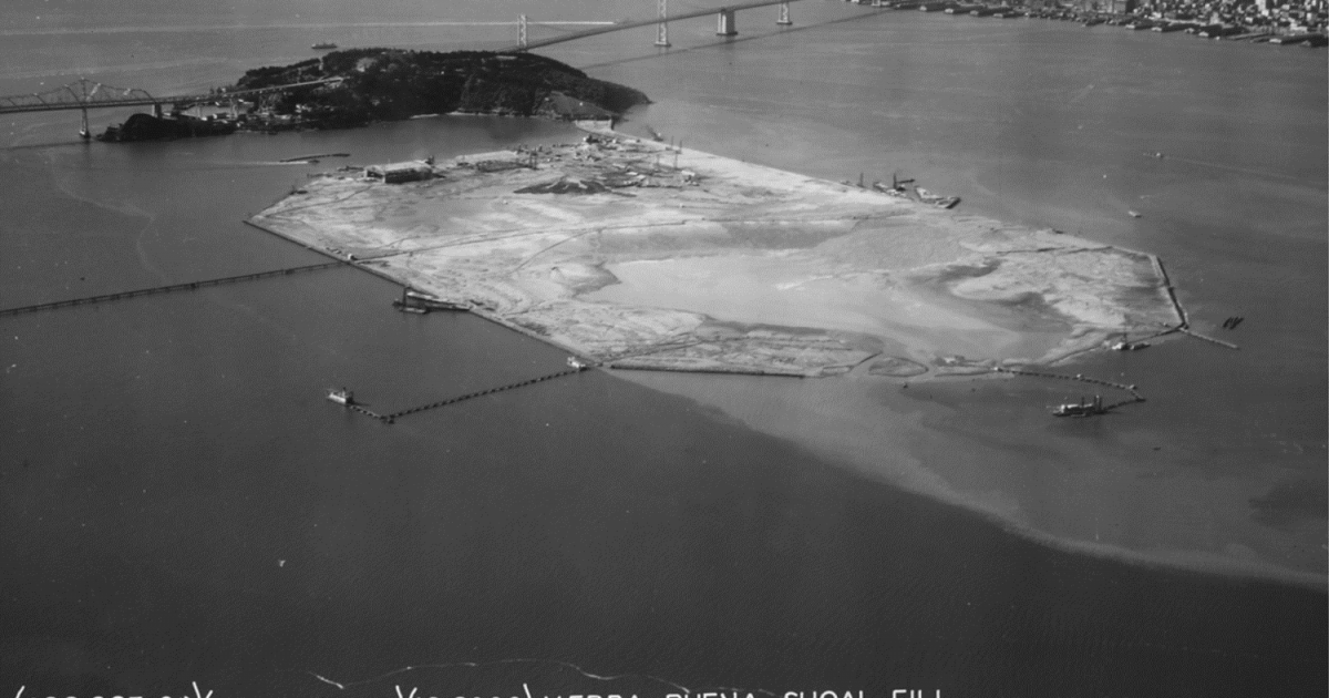
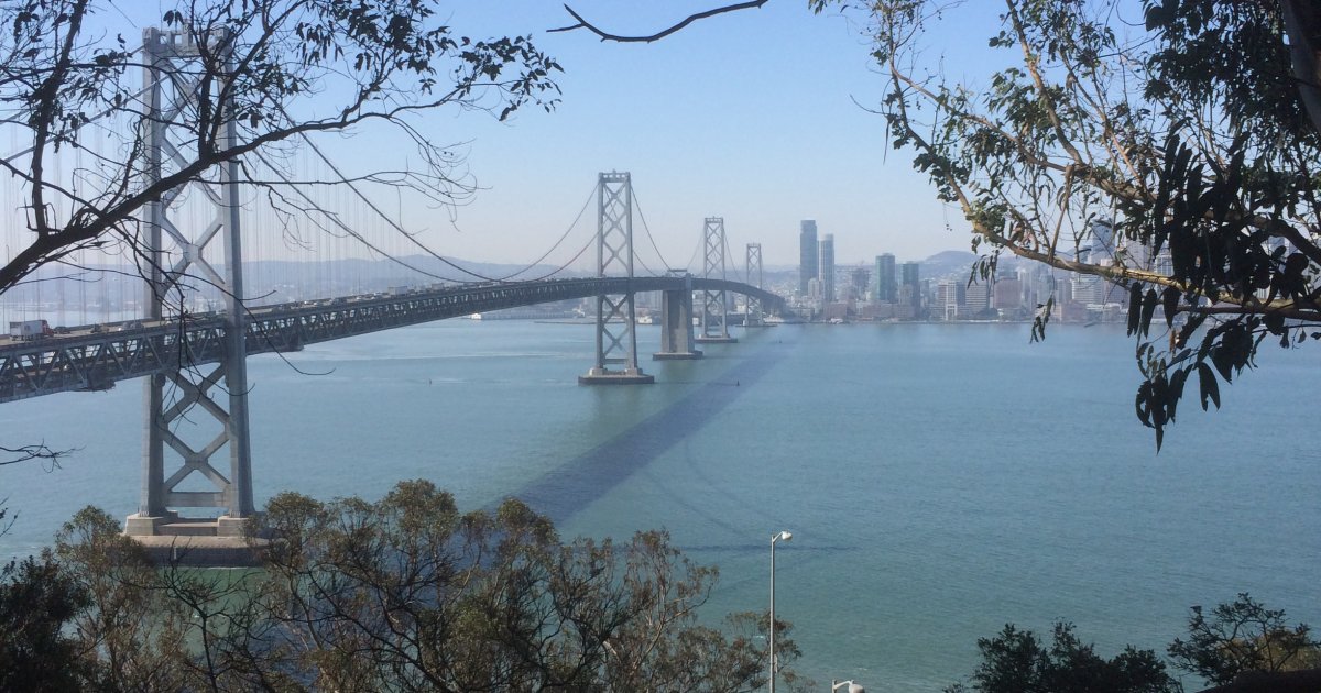
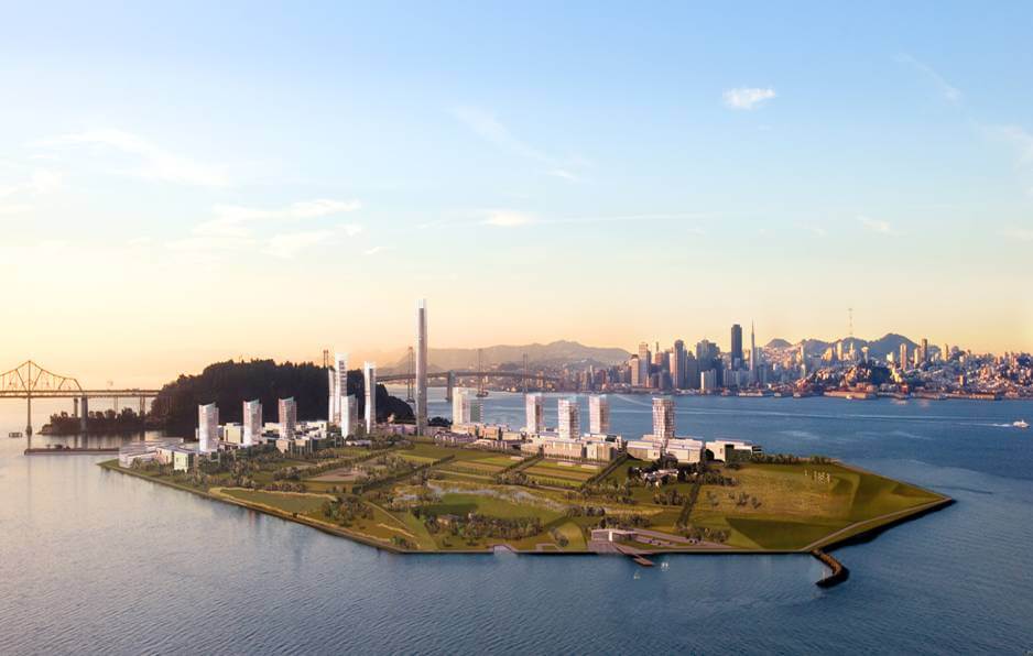
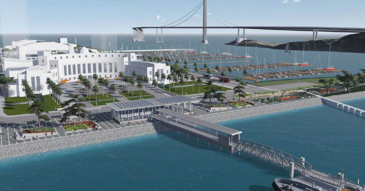
The project provides a new, high-density, mixed-use community with a variety of housing types, a retail core, two hotels, a ferry terminal, on-site infrastructure, open space and recreation amenities, and public and community facilities and services. The project includes both Treasure Island and Yerba Buena Island.
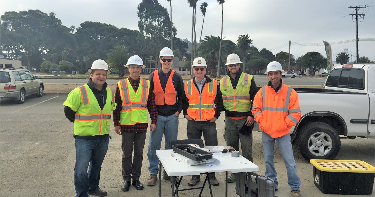
Starting in 2006, as the Geotechnical Engineer of Record, ENGEO began conducting several design-level geotechnical studies for both horizontal and vertical construction within the first Major Phase of development, an approximately 171-acre parcel with a new ferry terminal, approximately 3,700 residential units, and 100 acres of parks and open space. The first Major Phase of development consists of six sub-phases development at Treasure Island and two sub-phases of development at Yerba Buena Island.
The main geotechnical challenges at the Treasure Island included:
(1) seismic stabilization of the perimeter shoreline and causeway that connect Treasure Island to Yerba Buena Island,
(2) mitigation of long-term static settlements under the development footprint due to the presence of Bay Mud, and
(3) mitigation of liquefaction-induced settlement within the development footprint.
The main geotechnical challenges at Yerba Buena Island included:
(1) mitigation of potential static and seismic instability of existing deep landsides, and
(2) retaining wall and foundation design considerations associated with construction near existing cut slopes, hillside fills, and future cuts for the associated buildings and infrastructure
Geotechnical Design and Mitigations
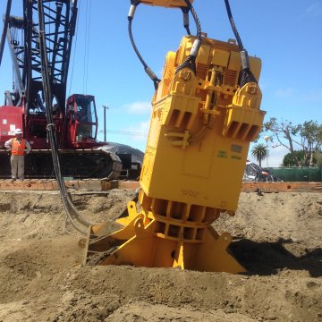
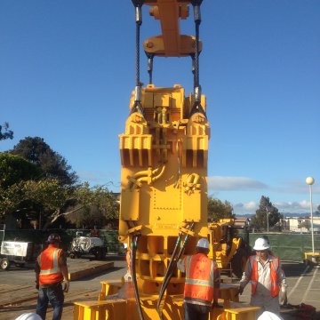
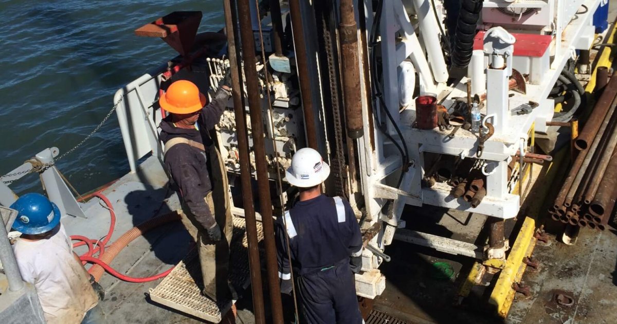
ENGEO designed and managed large-scale ground-improvement within Treasure Island Major Phase 1 consisting of a rolling surcharge program accelerated by wick drains to mitigate consolidation settlement, vibrodensification to mitigate liquefaction, and deep-soil mixing for seismic shoreline stabilization. In development of the vibrodensification method specification, a full-scale test section was performed including advanced cyclic testing on the soils and finite-element dynamic analyses. The test section demonstrated that the proprietary ground improvement technique mitigated liquefaction and reduced the liquefaction-induced lateral spread, thereby making high-rise development feasible, and saving millions and years of construction in the process.
Vertical Design
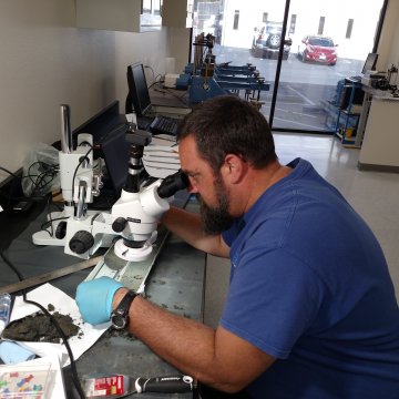
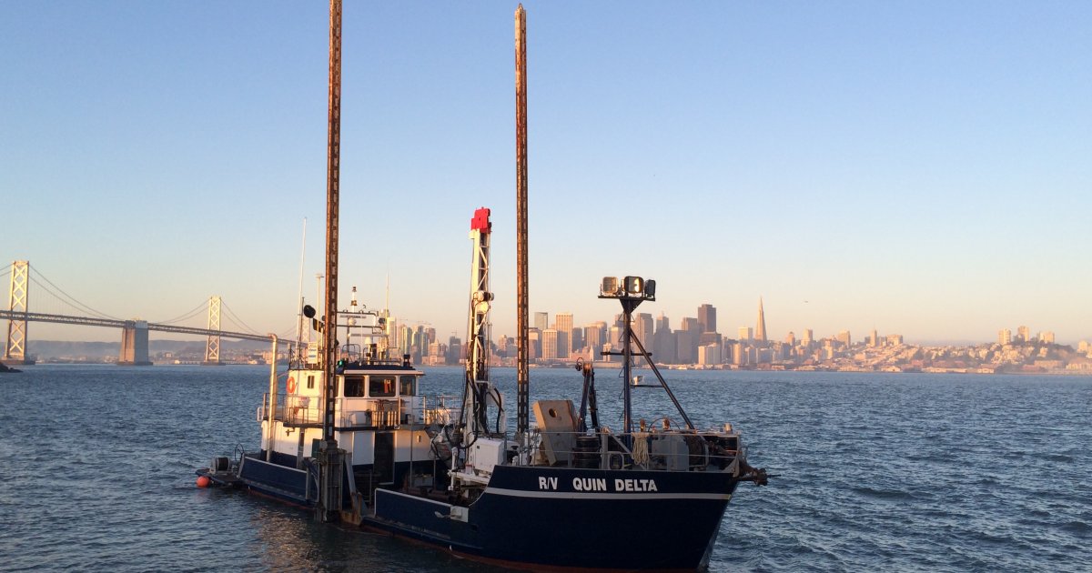
ENGEO has prepared geotechnical exploration reports for the ferry terminal, townhomes, mid-rises, and high-rise structures between Treasure Island and Yerba Buena Island. The geotechnical explorations consist of robust field explorations, state-of-the-art laboratory analyses, and advanced numerical modeling. We utilized state-of-the-art non-ergodic seismic hazard analysis for ground-motion optimization to refine the seismic demand on the structures. We implemented 3-D finite-element modeling to evaluate dynamic performance of the shoreline and static performance of shallow and deep foundation structures.
Design and Construction Coordination with GIS
With careful sequencing of work, geotechnical mitigation work, construction of infrastructure, protection of existing structures, design for future phases, and design and construction of new buildings could all occur simultaneously. We developed a project-specific GIS platform to facilitate design coordination and construction progress tracking for all stakeholders. Drone flyovers were also performed weekly for quantity tracking and island-wide aerial imagery.